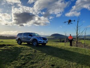
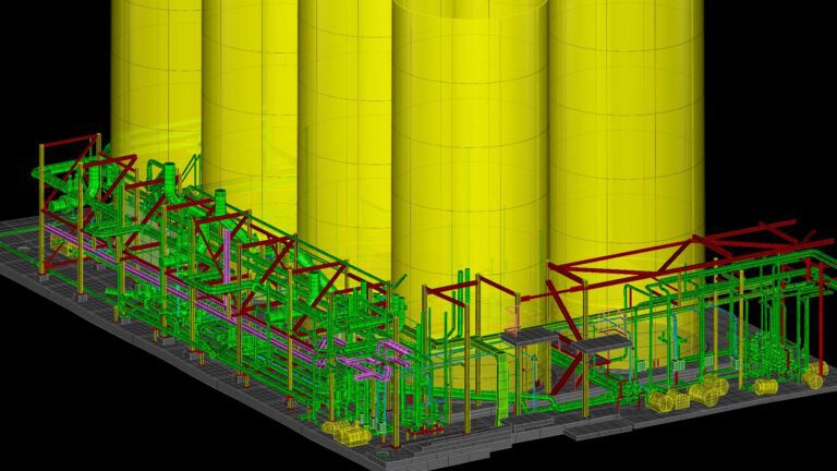
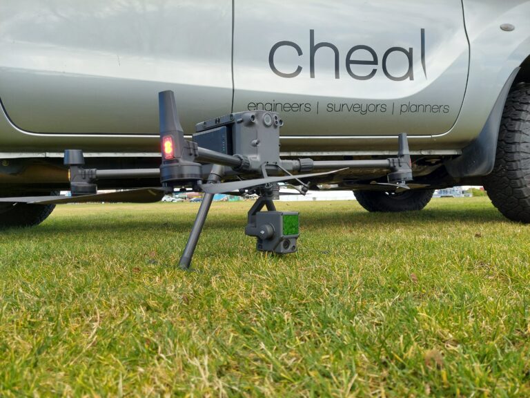
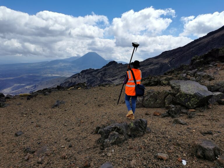
The Cheal Geospatial team is made up of a group of highly qualified professionals providing a niche range of specialised services. We use the latest technology, including laser scanners, drones, GNSS systems, that combined with decades of experience allow us to safely, quickly, efficiently and accurately capture datasets to deliver digital solutions to meet our clients needs and to add value to their projects. We are committed to leveraging spatial data and applying innovation for meaningful impact in our clients projects.. Read on to see how we can partner with you on your project.
Services include:
- Mapping
- Terrestrial 3D Laser Scanning
- Metrology & Precision Measurements
- Property surveying
- UAV (Drone) surveys
- Contours for land surveying/mapping
- Precise volume measurements
- Stockpile measurements
- Slope/erosion monitoring
- Vegetation maintenance in proximity to power lines
- Roof/structure inspections