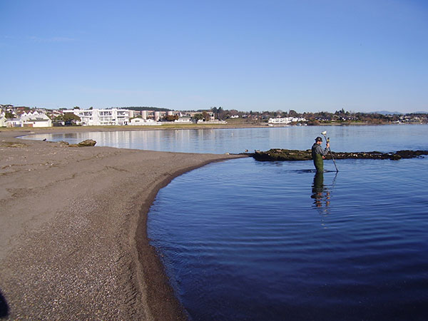
Cheal has been engaged by Taupo District Council, Mighty River Power and Waikato Regional Council since 2004, to monitor the movement of sediment at various beach locations on the shores of Lake Taupo. The survey data collected is part of an ongoing monitoring program to assist the management of lake shore erosion.
The monitoring involves the annual re-survey of beach profiles at the same locations as established at the commencement of the program in 2004. The data is captured using kinematic GPS techniques. Where the profiles extend beyond the shoreline the data is captured using hydrographic equipment. Cheal own a Ohmex Sonamite hydrographic system that when coupled with the GPS equipment allows real time capture of data in x,y,z format. Profile drawings of the data are prepared and attached to a comprehensive survey report for each locality. Also included within each report is a photo record history. Photos are recorded annually from same locations at each site.
The capture and accurate recording of data compiled to a comprehensive high quality report by our Survey Team allows for our client to make accurate decisions on the future management of lake shore erosion within the Lake Taupo catchment.